- Details
- Hits: 2334
Mine: Isabella Mine, Palmer, MI
Watson (NW Sec 32) → Isabella Mine → Became
Operated for 22 years.
From: 1912
Location: SW Sec 29 and NW Sec 32 of T47N-R26W. 46.43333,-87.60000. West of M-35, south of Missouri Road, Palmer.
Owned by: Steel & Tube Co. of America, then Youngstown Mines Corp. In 1934 to Cascade Corp.
Produced: Iron Ore, soft, red, Bessemer.
Method: Underground, by stoping system. Depth: 1,252 feet.
Railroad connection: DSS&A to Marquette dock; C&NW to Escanaba dock.
Until: 1934
Lifetime Production:
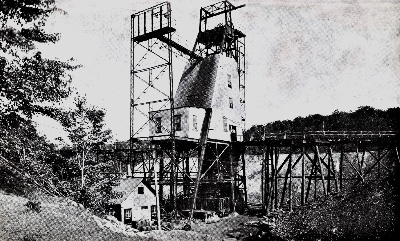
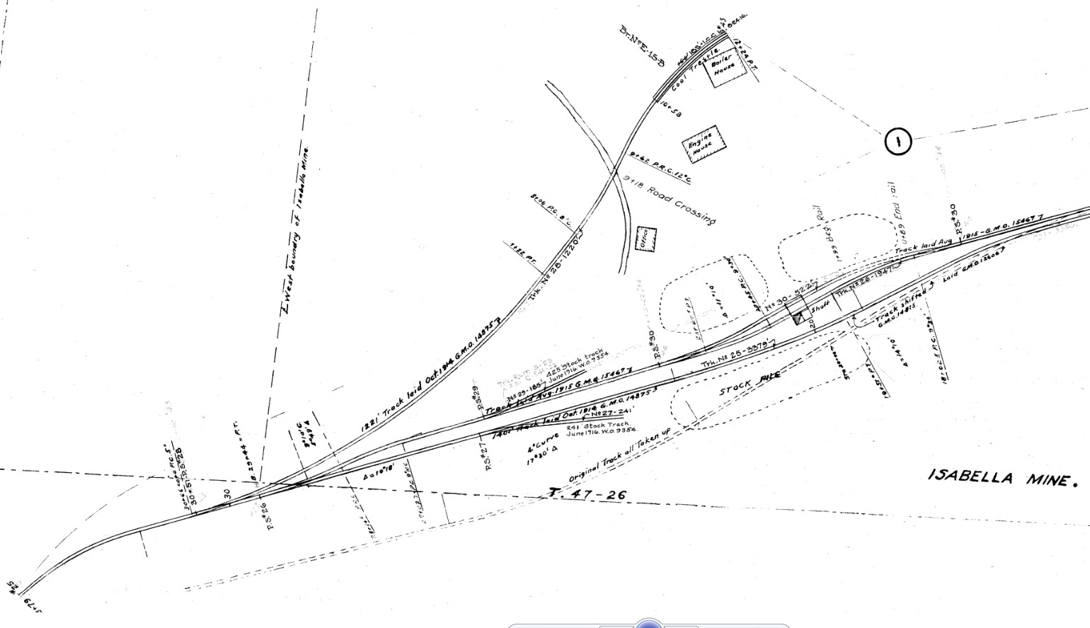
Photo info: Top, a view of the Isabella Mine in Palmer in the early 1900's. 2nd photo, a map of the mine around 1917. [CNWV]
Notes
Time Line
1914. Tracks were laid to this mine by the C&NW off their Cascade Branch, east of Palmer. This included two loading tracks adjacent to the shaft, and a coal trestle. [CNWV]


